Pond at Portishead Ecology Park
Introduction
The photograph on this page of Pond at Portishead Ecology Park by David Dixon as part of the Geograph project.
The Geograph project started in 2005 with the aim of publishing, organising and preserving representative images for every square kilometre of Great Britain, Ireland and the Isle of Man.

There are currently over 7.5m images from over 14,400 individuals and you can help contribute to the project by visiting https://www.geograph.org.uk
Pond at Portishead Ecology Park
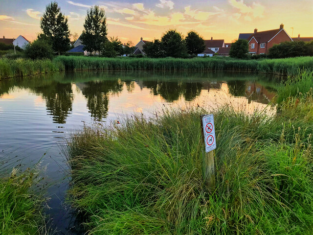
Image: © David Dixon Taken: 18 Jul 2021
The ecology park was established in 2007 as part of the Port Marine housing development, creating a public open space and a flood storage buffer. Prior to that, the land was primarily grazing marsh and was artificially drained by a series of interconnected drainage ditches. The wetland habitat is made up of ponds, scrapes and marshy grassland. It is home to a range of wildlife species including nesting birds, reptiles, amphibians, small mammals, invertebrates and native wild flowers.
Images are licensed for reuse under creativecommons.org/licenses/by-sa/2.0
Image Location
Latitude
51.48488
Longitude
-2.748396