Hoopers Close, Totnes
Introduction
The photograph on this page of Hoopers Close, Totnes by Derek Harper as part of the Geograph project.
The Geograph project started in 2005 with the aim of publishing, organising and preserving representative images for every square kilometre of Great Britain, Ireland and the Isle of Man.

There are currently over 7.5m images from over 14,400 individuals and you can help contribute to the project by visiting https://www.geograph.org.uk
Hoopers Close, Totnes
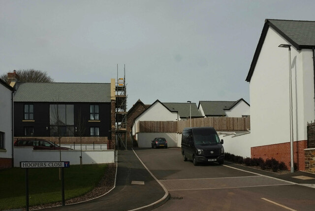
Image: © Derek Harper Taken: 17 Mar 2021
The built-up area of the town continues to extend eastwards. Houses on this close back onto Weston Lane (from which this was taken), as shown in Image
Images are licensed for reuse under creativecommons.org/licenses/by-sa/2.0
Image Location
Latitude
50.43099
Longitude
-3.664864