Former goods dock at Crowcombe Heathfield
Introduction
The photograph on this page of Former goods dock at Crowcombe Heathfield by Stephen Craven as part of the Geograph project.
The Geograph project started in 2005 with the aim of publishing, organising and preserving representative images for every square kilometre of Great Britain, Ireland and the Isle of Man.

There are currently over 7.5m images from over 14,400 individuals and you can help contribute to the project by visiting https://www.geograph.org.uk
Former goods dock at Crowcombe Heathfield
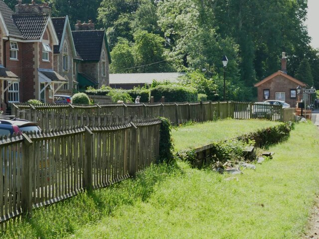
Image: © Stephen Craven Taken: 17 Jul 2021
To the left are modern houses known as Bakers Orchard.
Images are licensed for reuse under creativecommons.org/licenses/by-sa/2.0
Image Location


Leaflet Map data © OpenStreetMap
Latitude
51.101838
Longitude
-3.234368