Clifford, St Edward's
Introduction
The photograph on this page of Clifford, St Edward's by Mel Towler as part of the Geograph project.
The Geograph project started in 2005 with the aim of publishing, organising and preserving representative images for every square kilometre of Great Britain, Ireland and the Isle of Man.

There are currently over 7.5m images from over 14,400 individuals and you can help contribute to the project by visiting https://www.geograph.org.uk
Clifford, St Edward's
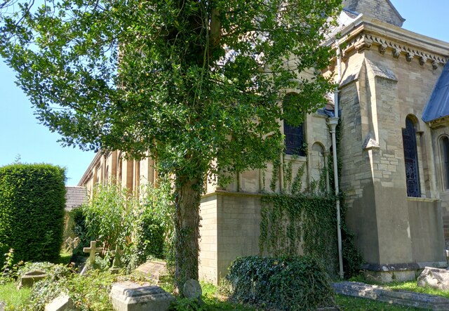
Image: © Mel Towler Taken: 17 Jul 2021
The benchmark is located on the corner wall to the right of the tree in the picture. This is a south facing wall, and the main entrance to the church is to the left. The mark is very clear and stands about 2 foot from ground level.
Images are licensed for reuse under creativecommons.org/licenses/by-sa/2.0
Image Location
Latitude
53.893102
Longitude
-1.347183