Direction Sign ? Signpost at Knockholt Pound
Introduction
The photograph on this page of Direction Sign ? Signpost at Knockholt Pound by John V Nicholls as part of the Geograph project.
The Geograph project started in 2005 with the aim of publishing, organising and preserving representative images for every square kilometre of Great Britain, Ireland and the Isle of Man.

There are currently over 7.5m images from over 14,400 individuals and you can help contribute to the project by visiting https://www.geograph.org.uk
Direction Sign ? Signpost at Knockholt Pound
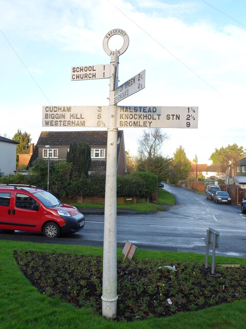
Image: © John V Nicholls Taken: 30 Dec 2012
Located in Knockholt Pound on a flower bed in the centre of the junction of Pound Lane, Knockholt Main Road, Harrow Road, Chevening Lane and Main Road, Knockholt parish. 5 arms and annulus finial. See also https://www.geograph.org.uk/photo/2068420 and https://www.geograph.org.uk/photo/3630111. Milestone Society National ID: KE_TQ4859B
Images are licensed for reuse under creativecommons.org/licenses/by-sa/2.0
Image Location
Latitude
51.315917
Longitude
0.124182