Hartnoll Wood, Bittadon
Introduction
The photograph on this page of Hartnoll Wood, Bittadon by Rabbi WP Thinrod as part of the Geograph project.
The Geograph project started in 2005 with the aim of publishing, organising and preserving representative images for every square kilometre of Great Britain, Ireland and the Isle of Man.

There are currently over 7.5m images from over 14,400 individuals and you can help contribute to the project by visiting https://www.geograph.org.uk
Hartnoll Wood, Bittadon
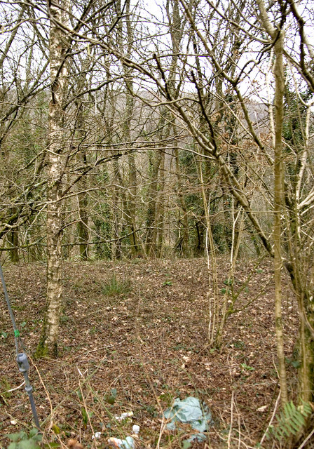
Image: © Rabbi WP Thinrod Taken: 15 Feb 2008
These mixed woods, with Hewish Down in the background, border the fast and sinuous road from Barnstaple to Ilfracombe. However, the dangerous corner doesn't deter fly-tippers from dropping off their garden rubbish.
Images are licensed for reuse under creativecommons.org/licenses/by-sa/2.0
Image Location


Leaflet Map data © OpenStreetMap
Latitude
51.143645
Longitude
-4.073958