Direction Sign ? Signpost in Hastoe, Tring parish
Introduction
The photograph on this page of Direction Sign ? Signpost in Hastoe, Tring parish by John V Nicholls as part of the Geograph project.
The Geograph project started in 2005 with the aim of publishing, organising and preserving representative images for every square kilometre of Great Britain, Ireland and the Isle of Man.

There are currently over 7.5m images from over 14,400 individuals and you can help contribute to the project by visiting https://www.geograph.org.uk
Direction Sign ? Signpost in Hastoe, Tring parish
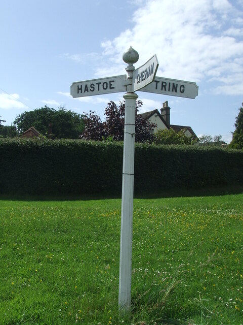
Image: © John V Nicholls Taken: 1 Jul 2007
Located at Hastoe, on the west side of the junction of Kiln Road, Church Lane and Marlin Hill in Tring parish. 3 arms and onion finial. See also https://www.geograph.org.uk/photo/90117. Milestone Society National ID: HE_SP9209
Images are licensed for reuse under creativecommons.org/licenses/by-sa/2.0
Image Location
Latitude
51.775795
Longitude
-0.662784