Path through Birchinlee East Plantation
Introduction
The photograph on this page of Path through Birchinlee East Plantation by Bill Boaden as part of the Geograph project.
The Geograph project started in 2005 with the aim of publishing, organising and preserving representative images for every square kilometre of Great Britain, Ireland and the Isle of Man.

There are currently over 7.5m images from over 14,400 individuals and you can help contribute to the project by visiting https://www.geograph.org.uk
Path through Birchinlee East Plantation
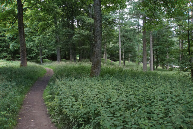
Image: © Bill Boaden Taken: 19 Jul 2021
The nettles and mounds suggest former habitation, and this was probably part of the former village of Birchinlee.
Images are licensed for reuse under creativecommons.org/licenses/by-sa/2.0
Image Location
Latitude
53.420489
Longitude
-1.750632