Close view of boundary stone on Sike Lane, Scholes
Introduction
The photograph on this page of Close view of boundary stone on Sike Lane, Scholes by Humphrey Bolton as part of the Geograph project.
The Geograph project started in 2005 with the aim of publishing, organising and preserving representative images for every square kilometre of Great Britain, Ireland and the Isle of Man.

There are currently over 7.5m images from over 14,400 individuals and you can help contribute to the project by visiting https://www.geograph.org.uk
Close view of boundary stone on Sike Lane, Scholes
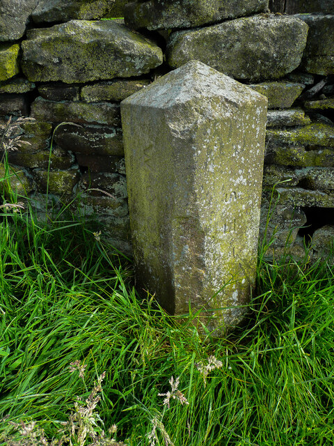
Image: © Humphrey Bolton Taken: 29 Jun 2021
This is one of a series of boundary stones around the perimeter of Scholes Local Board District. The boundary is with Wooldale.
Images are licensed for reuse under creativecommons.org/licenses/by-sa/2.0
Image Location
Latitude
53.568649
Longitude
-1.765768