Lane over Clea River at Crossdened
Introduction
The photograph on this page of Lane over Clea River at Crossdened by Sean Davis as part of the Geograph project.
The Geograph project started in 2005 with the aim of publishing, organising and preserving representative images for every square kilometre of Great Britain, Ireland and the Isle of Man.

There are currently over 7.5m images from over 14,400 individuals and you can help contribute to the project by visiting https://www.geograph.org.uk
Lane over Clea River at Crossdened
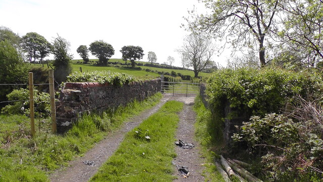
Image: © Sean Davis Taken: 20 May 2020
This farm lane leads from Castleblayney Road to the source of the Clea River at Clea Lake (aka Clay Lake). The bridge in the photo crosses the Clea River and the disused Keady to Castleblayney railway. You can see the view down from the bridge at https://www.geograph.ie/photo/6904373 and also read more about the railway at https://en.wikipedia.org/wiki/Castleblayney,_Keady_and_Armagh_Railway
Images are licensed for reuse under creativecommons.org/licenses/by-sa/2.0
Image Location
Latitude
54.242086
Longitude
-6.714425