Vineyard on Hawk's Hill
Introduction
The photograph on this page of Vineyard on Hawk's Hill by Colin Smith as part of the Geograph project.
The Geograph project started in 2005 with the aim of publishing, organising and preserving representative images for every square kilometre of Great Britain, Ireland and the Isle of Man.

There are currently over 7.5m images from over 14,400 individuals and you can help contribute to the project by visiting https://www.geograph.org.uk
Vineyard on Hawk's Hill
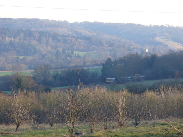
Image: © Colin Smith Taken: 10 Feb 2008
Scrubby vineyard on south-facing slopes south-west of Leatherhead. The train in middle distance is heading through the Mole Gap to Dorking. In the background are the woody eastern slopes of the Mole Gap above Mickleham.
Images are licensed for reuse under creativecommons.org/licenses/by-sa/2.0
Image Location
Latitude
51.287113
Longitude
-0.338675