Belle Hill, Bexhill-on-Sea
Introduction
The photograph on this page of Belle Hill, Bexhill-on-Sea by Bill Johnson as part of the Geograph project.
The Geograph project started in 2005 with the aim of publishing, organising and preserving representative images for every square kilometre of Great Britain, Ireland and the Isle of Man.

There are currently over 7.5m images from over 14,400 individuals and you can help contribute to the project by visiting https://www.geograph.org.uk
Belle Hill, Bexhill-on-Sea
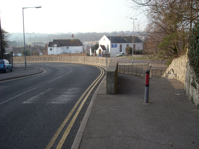
Image: © Bill Johnson Taken: 15 Feb 2008
This photograph shows, left to right: Belle Hill, the original main road through the Old Town Ramp to the underpass under King Offa Way King Offa Way, the bypass to the Old Town
Images are licensed for reuse under creativecommons.org/licenses/by-sa/2.0
Image Location
Latitude
50.845933
Longitude
0.472801