Sutton Place flats
Introduction
The photograph on this page of Sutton Place flats by Ian Capper as part of the Geograph project.
The Geograph project started in 2005 with the aim of publishing, organising and preserving representative images for every square kilometre of Great Britain, Ireland and the Isle of Man.

There are currently over 7.5m images from over 14,400 individuals and you can help contribute to the project by visiting https://www.geograph.org.uk
Sutton Place flats
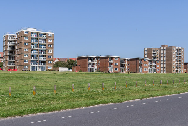
Image: © Ian Capper Taken: 16 Jul 2021
c.1960s/70s apartment blocks in Sutton Place, seen across De La Warr Parade. The buildings are all named after towns or villages in Surrey (or formerly in Surrey): Ashtead Towers on the left, Tilford Court in the centre and Cobham Towers on the right.
Images are licensed for reuse under creativecommons.org/licenses/by-sa/2.0
Image Location
Latitude
50.84142
Longitude
0.491299