Public footpath towards Garendon Park, Thorpe Acre
Introduction
The photograph on this page of Public footpath towards Garendon Park, Thorpe Acre by Richard Vince as part of the Geograph project.
The Geograph project started in 2005 with the aim of publishing, organising and preserving representative images for every square kilometre of Great Britain, Ireland and the Isle of Man.

There are currently over 7.5m images from over 14,400 individuals and you can help contribute to the project by visiting https://www.geograph.org.uk
Public footpath towards Garendon Park, Thorpe Acre
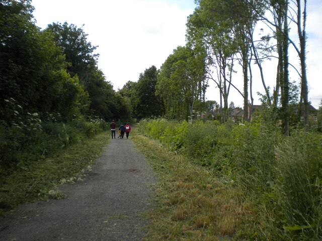
Image: © Richard Vince Taken: 19 Jun 2021
So well used for family recreation that I was unable to get a shot that didn't contain humans. The houses on the right are on Lilleshall Way and St Olaves Close.
Images are licensed for reuse under creativecommons.org/licenses/by-sa/2.0
Image Location
Latitude
52.775831
Longitude
-1.247648