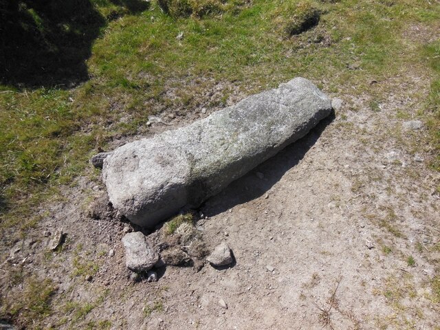
Old Boundary Marker on Manor Common, Blisland
Introduction
The photograph on this page of Old Boundary Marker on Manor Common, Blisland by P G Moore as part of the Geograph project.
The Geograph project started in 2005 with the aim of publishing, organising and preserving representative images for every square kilometre of Great Britain, Ireland and the Isle of Man.
There are currently over 7.5m images from over 14,400 individuals and you can help contribute to the project by visiting https://www.geograph.org.uk

Image: © P G Moore Taken: Unknown
Estate Boundary Marker to the south of the minor road that passes Treswigga Farm and immediately opposite the corner of the enclosed farmland. Blisland parish. Inscribed H and MX on opposite faces. One of five stones marking the section of Manor Common known formerly as Nailybarrow. This was owned by James Hayward whilst the majority of Manor Common, to the east and south, was owned by Sir William Molesworth. This stone bears the inscription H and MX, representing Hayward and Molesworth respectively. MX was used by the Molesworth family to indicate that they owned the Manor of Blisland. Milestone Society National ID: CW_BLIS11em

