Freiston, Caythorpe Road
Introduction
The photograph on this page of Freiston, Caythorpe Road by Alan Murray-Rust as part of the Geograph project.
The Geograph project started in 2005 with the aim of publishing, organising and preserving representative images for every square kilometre of Great Britain, Ireland and the Isle of Man.

There are currently over 7.5m images from over 14,400 individuals and you can help contribute to the project by visiting https://www.geograph.org.uk
Freiston, Caythorpe Road
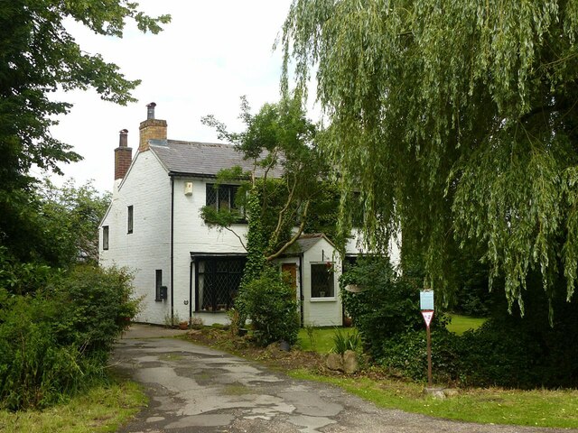
Image: © Alan Murray-Rust Taken: 13 Jul 2021
A cottage dating back to the early 19th century, originally a small farmhouse with attached smallholding farm. See http://www.geograph.org.uk/photo/6901528
Images are licensed for reuse under creativecommons.org/licenses/by-sa/2.0
Image Location
Latitude
53.007763
Longitude
-0.992647