Speed cushions on Monkton Lane
Introduction
The photograph on this page of Speed cushions on Monkton Lane by Oliver Dixon as part of the Geograph project.
The Geograph project started in 2005 with the aim of publishing, organising and preserving representative images for every square kilometre of Great Britain, Ireland and the Isle of Man.

There are currently over 7.5m images from over 14,400 individuals and you can help contribute to the project by visiting https://www.geograph.org.uk
Speed cushions on Monkton Lane
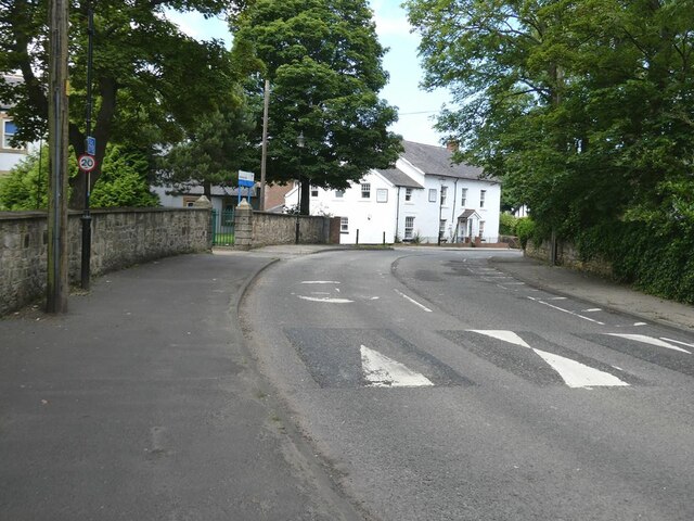
Image: © Oliver Dixon Taken: 14 Jul 2021
At Monkton Lane, the line of the Bowes Railway (National Cycle Network Regional Route 11) has been completely blocked at the southern end by vegetation and further north by Monkton Stadium. From here on, Route 11 is named the Monkton Cycleway. The White House Care Home can be seen on the bend.
Images are licensed for reuse under creativecommons.org/licenses/by-sa/2.0
Image Location
Latitude
54.966279
Longitude
-1.502811