Park by Jackson's Bridge near Coven, Staffordshire
Introduction
The photograph on this page of Park by Jackson's Bridge near Coven, Staffordshire by Roger Kidd as part of the Geograph project.
The Geograph project started in 2005 with the aim of publishing, organising and preserving representative images for every square kilometre of Great Britain, Ireland and the Isle of Man.

There are currently over 7.5m images from over 14,400 individuals and you can help contribute to the project by visiting https://www.geograph.org.uk
Park by Jackson's Bridge near Coven, Staffordshire
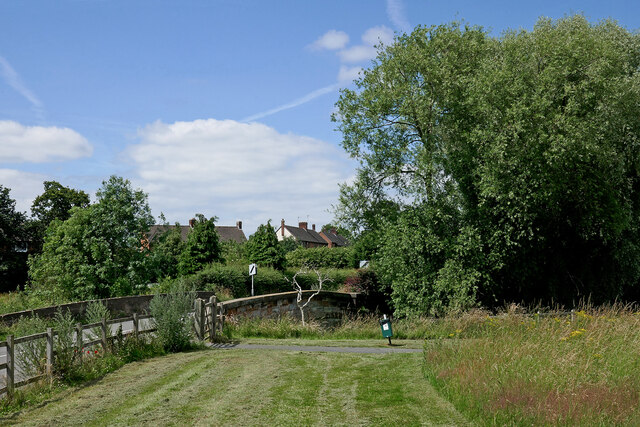
Image: © Roger Kidd Taken: 14 Jul 2021
Jackson's Bridge carries Brewood Road across the River Penk by this attractively maintained public park at Lower Green Coven. It was originally called King's Bridge, until a man called Jackson hung himself from it. It is Grade II listed. The grass has just been cut, leaving selected areas to nature, probably to be mowed in the autumn.
Images are licensed for reuse under creativecommons.org/licenses/by-sa/2.0
Image Location
Latitude
52.662791
Longitude
-2.14382