Hexham: up Gilesgate
Introduction
The photograph on this page of Hexham: up Gilesgate by John Sutton as part of the Geograph project.
The Geograph project started in 2005 with the aim of publishing, organising and preserving representative images for every square kilometre of Great Britain, Ireland and the Isle of Man.

There are currently over 7.5m images from over 14,400 individuals and you can help contribute to the project by visiting https://www.geograph.org.uk
Hexham: up Gilesgate
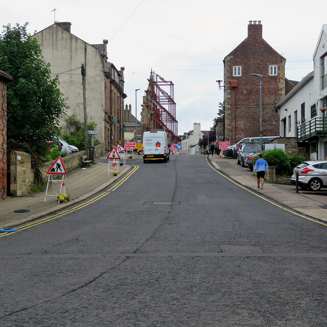
Image: © John Sutton Taken: 12 Jul 2021
The steelwork in the centre supports the Victorian frontage of the former swimming bath, whose site is being redeveloped as flats.
Images are licensed for reuse under creativecommons.org/licenses/by-sa/2.0
Image Location
Latitude
54.973
Longitude
-2.104479