View south towards Plymswood
Introduction
The photograph on this page of View south towards Plymswood by Jonathan Billinger as part of the Geograph project.
The Geograph project started in 2005 with the aim of publishing, organising and preserving representative images for every square kilometre of Great Britain, Ireland and the Isle of Man.

There are currently over 7.5m images from over 14,400 individuals and you can help contribute to the project by visiting https://www.geograph.org.uk
View south towards Plymswood
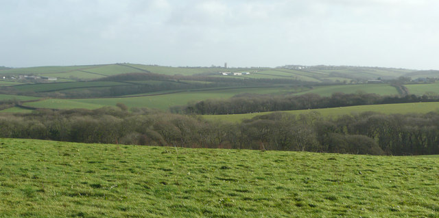
Image: © Jonathan Billinger Taken: 5 Feb 2008
Tuckingmill Wood, just within the gridsquare, is in the middle distance. All-in-all a typical North Cornish landscape.
Images are licensed for reuse under creativecommons.org/licenses/by-sa/2.0
Image Location


Leaflet Map data © OpenStreetMap
Latitude
50.764356
Longitude
-4.530934