Low Level
Introduction
The photograph on this page of Low Level by J Scott as part of the Geograph project.
The Geograph project started in 2005 with the aim of publishing, organising and preserving representative images for every square kilometre of Great Britain, Ireland and the Isle of Man.

There are currently over 7.5m images from over 14,400 individuals and you can help contribute to the project by visiting https://www.geograph.org.uk
Low Level
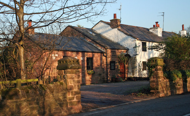
Image: © J Scott Taken: 13 Feb 2008
Single storey sandstone cottage next to Irbyside cottages, Hill bark Road.
Images are licensed for reuse under creativecommons.org/licenses/by-sa/2.0
Image Location
Latitude
53.36748
Longitude
-3.131011