Part of East Horndon
Introduction
The photograph on this page of Part of East Horndon by Robert Edwards as part of the Geograph project.
The Geograph project started in 2005 with the aim of publishing, organising and preserving representative images for every square kilometre of Great Britain, Ireland and the Isle of Man.

There are currently over 7.5m images from over 14,400 individuals and you can help contribute to the project by visiting https://www.geograph.org.uk
Part of East Horndon
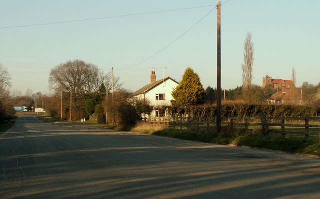
Image: © Robert Edwards Taken: 11 Feb 2008
This section of road was once part of the original A.128 until the building of the A.127 dual carriageway. All Saints church can be seen on the hill on the far right of the picture.
Images are licensed for reuse under creativecommons.org/licenses/by-sa/2.0
Image Location


Leaflet Map data © OpenStreetMap
Latitude
51.578236
Longitude
0.357483