History in Guinea Street
Introduction
The photograph on this page of History in Guinea Street by Neil Owen as part of the Geograph project.
The Geograph project started in 2005 with the aim of publishing, organising and preserving representative images for every square kilometre of Great Britain, Ireland and the Isle of Man.

There are currently over 7.5m images from over 14,400 individuals and you can help contribute to the project by visiting https://www.geograph.org.uk
History in Guinea Street
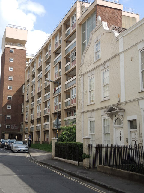
Image: © Neil Owen Taken: 31 May 2021
The house at the end of the original terrace was the subject of a television programme, charting the house's owners and occupiers throughout the centuries. Sadly, the rest of the row was lost to redevelopment in the 1960s and a massive new high-rise block was built right next door.
Images are licensed for reuse under creativecommons.org/licenses/by-sa/2.0
Image Location
Latitude
51.447286
Longitude
-2.592947