Lane in Aikengate
Introduction
The photograph on this page of Lane in Aikengate by Humphrey Bolton as part of the Geograph project.
The Geograph project started in 2005 with the aim of publishing, organising and preserving representative images for every square kilometre of Great Britain, Ireland and the Isle of Man.

There are currently over 7.5m images from over 14,400 individuals and you can help contribute to the project by visiting https://www.geograph.org.uk
Lane in Aikengate
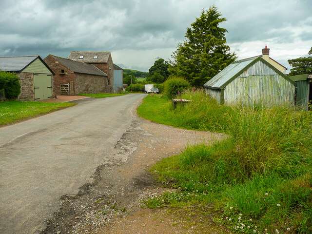
Image: © Humphrey Bolton Taken: 4 Jul 2021
This is on the map as an 'Other route with public access', although presumably it should be classed as a Byway as it is the main street of the hamlet.
Images are licensed for reuse under creativecommons.org/licenses/by-sa/2.0
Image Location
Latitude
54.811381
Longitude
-2.808751