Cart track out of the village, Newton Reigny
Introduction
The photograph on this page of Cart track out of the village, Newton Reigny by Humphrey Bolton as part of the Geograph project.
The Geograph project started in 2005 with the aim of publishing, organising and preserving representative images for every square kilometre of Great Britain, Ireland and the Isle of Man.

There are currently over 7.5m images from over 14,400 individuals and you can help contribute to the project by visiting https://www.geograph.org.uk
Cart track out of the village, Newton Reigny
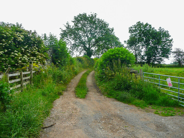
Image: © Humphrey Bolton Taken: 9 Jul 2021
This starts as a road from the junction with the signpost shown in Image] and soon becomes a cart track, presumably giving access to fields. It is not shown as a right-of-way on maps, but is probably used by the locals.
Images are licensed for reuse under creativecommons.org/licenses/by-sa/2.0
Image Location
Latitude
54.6747
Longitude
-2.807582