Bridge on the edge of Berryfields
Introduction
The photograph on this page of Bridge on the edge of Berryfields by Des Blenkinsopp as part of the Geograph project.
The Geograph project started in 2005 with the aim of publishing, organising and preserving representative images for every square kilometre of Great Britain, Ireland and the Isle of Man.

There are currently over 7.5m images from over 14,400 individuals and you can help contribute to the project by visiting https://www.geograph.org.uk
Bridge on the edge of Berryfields
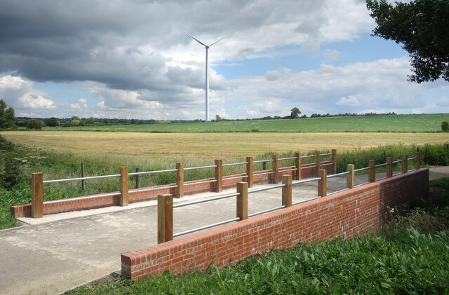
Image: © Des Blenkinsopp Taken: 5 Jul 2021
There is a generous provision of paths and cycleways around the new suburb of Berryfields which has been built over the last few years. This is a sort of perimeter track along here, with houses on one side and fields on the other.
Images are licensed for reuse under creativecommons.org/licenses/by-sa/2.0
Image Location
Latitude
51.844346
Longitude
-0.848977