Waygates, Wreay
Introduction
The photograph on this page of Waygates, Wreay by Humphrey Bolton as part of the Geograph project.
The Geograph project started in 2005 with the aim of publishing, organising and preserving representative images for every square kilometre of Great Britain, Ireland and the Isle of Man.

There are currently over 7.5m images from over 14,400 individuals and you can help contribute to the project by visiting https://www.geograph.org.uk
Waygates, Wreay
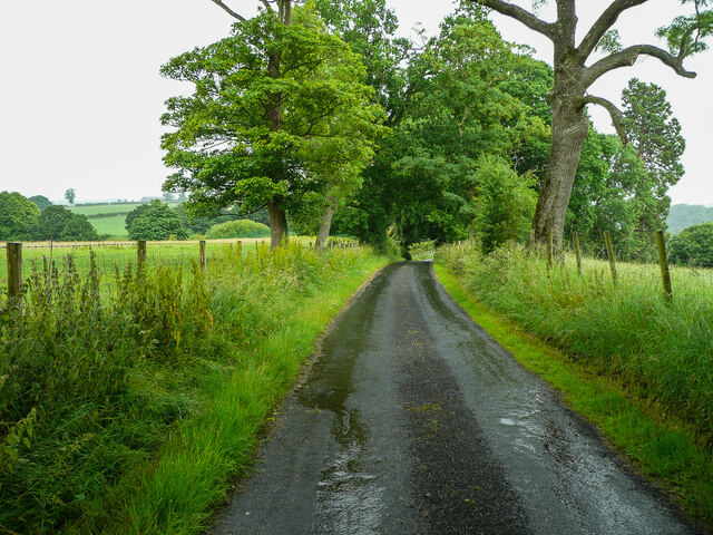
Image: © Humphrey Bolton Taken: 4 Jul 2021
This lane leads to Park House Farm, but is also a public footpath that leaves the lane and crosses the River Petteril near Wreay Hall Mill. It is part of the Wreay Woods Walk devised by Vivienne Crow for the Friends of St Mary's Church. However there is a notice at the end of the lane in the village (July 2021) that the path is closed near the river due to subsidence.
Images are licensed for reuse under creativecommons.org/licenses/by-sa/2.0
Image Location
Latitude
54.833996
Longitude
-2.878016