Old milestone
Introduction
The photograph on this page of Old milestone by Chris Minto as part of the Geograph project.
The Geograph project started in 2005 with the aim of publishing, organising and preserving representative images for every square kilometre of Great Britain, Ireland and the Isle of Man.

There are currently over 7.5m images from over 14,400 individuals and you can help contribute to the project by visiting https://www.geograph.org.uk
Old milestone
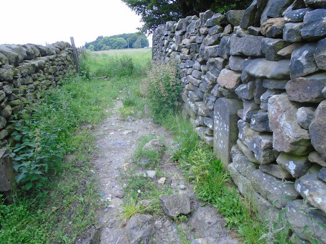
Image: © Chris Minto Taken: 27 Jun 2021
The view looking westwards with the wall surrounding Ring Wood on the right and the roadside wall on the left. A gate has to be climbed to see this stone. 15(XV) miles to Rotherham on the old Salt route from Cheshire.
Images are licensed for reuse under creativecommons.org/licenses/by-sa/2.0
Image Location
Latitude
53.509966
Longitude
-1.658279