St. Andrew's Road, Huddersfield
Introduction
The photograph on this page of St. Andrew's Road, Huddersfield by Malc McDonald as part of the Geograph project.
The Geograph project started in 2005 with the aim of publishing, organising and preserving representative images for every square kilometre of Great Britain, Ireland and the Isle of Man.

There are currently over 7.5m images from over 14,400 individuals and you can help contribute to the project by visiting https://www.geograph.org.uk
St. Andrew's Road, Huddersfield
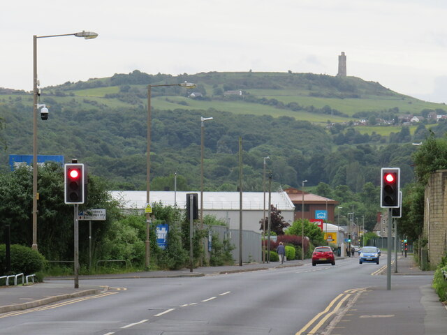
Image: © Malc McDonald Taken: 14 Jun 2021
St. Andrew's Road is a "B" road near the centre of Huddersfield. In the background is Castle Hill which overlooks the town, with the Victoria Tower at the top.
Images are licensed for reuse under creativecommons.org/licenses/by-sa/2.0
Image Location
Latitude
53.652346
Longitude
-1.773777