Burghead, parish church
Introduction
The photograph on this page of Burghead, parish church by Mel Towler as part of the Geograph project.
The Geograph project started in 2005 with the aim of publishing, organising and preserving representative images for every square kilometre of Great Britain, Ireland and the Isle of Man.

There are currently over 7.5m images from over 14,400 individuals and you can help contribute to the project by visiting https://www.geograph.org.uk
Burghead, parish church
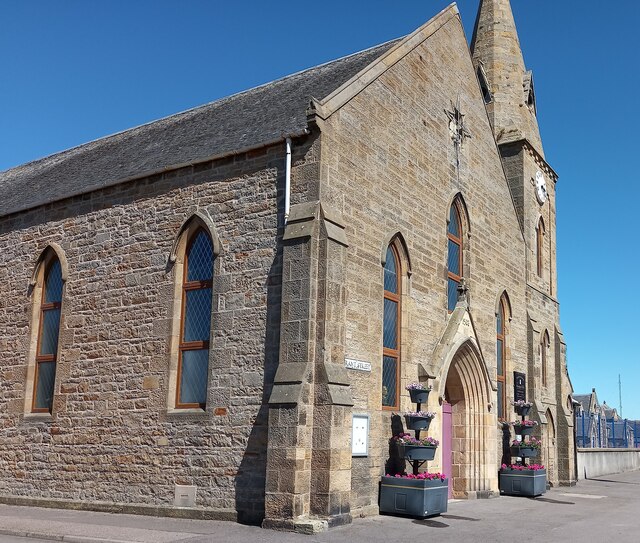
Image: © Mel Towler Taken: 1 Jul 2021
A woder angle showing the parish church of Burghead with a rivet and cut mark on the north-west facing wall of the church, on the east side of Park Street. The rivet is very obvious, although the cut mark is now quite worn.
Images are licensed for reuse under creativecommons.org/licenses/by-sa/2.0
Image Location
Latitude
57.701052
Longitude
-3.488747