Hattersley Science and Technology Park
Introduction
The photograph on this page of Hattersley Science and Technology Park by Stephen Burton as part of the Geograph project.
The Geograph project started in 2005 with the aim of publishing, organising and preserving representative images for every square kilometre of Great Britain, Ireland and the Isle of Man.

There are currently over 7.5m images from over 14,400 individuals and you can help contribute to the project by visiting https://www.geograph.org.uk
Hattersley Science and Technology Park
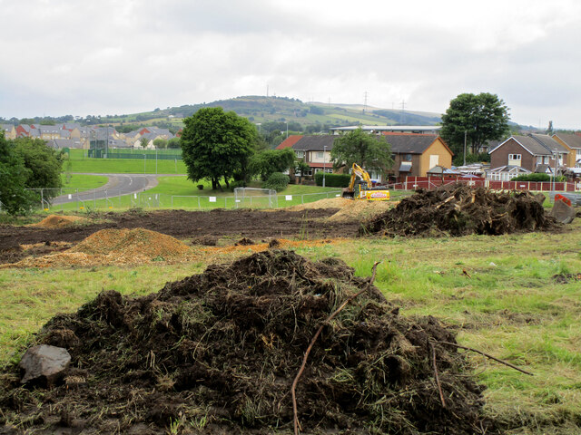
Image: © Stephen Burton Taken: 8 Jul 2021
Work starting clearing the site for Hattersley Science and Technology Park, this involved the felling of a dozen or so trees on this greenfield site. Envirolab a soil testing business will be relocating from the Sand Pitts Industrial Estate and is the main driver of this project.
Images are licensed for reuse under creativecommons.org/licenses/by-sa/2.0
Image Location
Latitude
53.444384
Longitude
-2.033384