Information board on Whixall Moss Marl Allotment
Introduction
The photograph on this page of Information board on Whixall Moss Marl Allotment by Jeremy Bolwell as part of the Geograph project.
The Geograph project started in 2005 with the aim of publishing, organising and preserving representative images for every square kilometre of Great Britain, Ireland and the Isle of Man.

There are currently over 7.5m images from over 14,400 individuals and you can help contribute to the project by visiting https://www.geograph.org.uk
Information board on Whixall Moss Marl Allotment
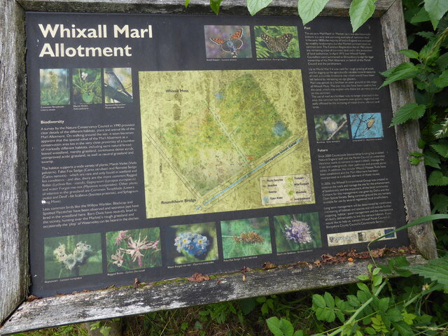
Image: © Jeremy Bolwell Taken: 8 Jul 2021
Just when I thought I was info boarded to the max! Here is another great board educating me even more. Good news.
Images are licensed for reuse under creativecommons.org/licenses/by-sa/2.0
Image Location
Latitude
52.917201
Longitude
-2.743264