Dipping platform, Doune Ponds
Introduction
The photograph on this page of Dipping platform, Doune Ponds by Richard Sutcliffe as part of the Geograph project.
The Geograph project started in 2005 with the aim of publishing, organising and preserving representative images for every square kilometre of Great Britain, Ireland and the Isle of Man.

There are currently over 7.5m images from over 14,400 individuals and you can help contribute to the project by visiting https://www.geograph.org.uk
Dipping platform, Doune Ponds
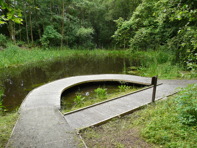
Image: © Richard Sutcliffe Taken: 9 Jul 2021
A curved boardwalk at the edge of one of the ponds. This is an ideal spot to dip a net into the water and see what you can find. The sign on the right shows illustrations of the kinds of invertebrate animals that might be found. The ponds are part of a local nature reserve located in an old sand and gravel quarry.
Images are licensed for reuse under creativecommons.org/licenses/by-sa/2.0
Image Location
Latitude
56.19223
Longitude
-4.056228