Huntingdon - High Street
Introduction
The photograph on this page of Huntingdon - High Street by Colin Smith as part of the Geograph project.
The Geograph project started in 2005 with the aim of publishing, organising and preserving representative images for every square kilometre of Great Britain, Ireland and the Isle of Man.

There are currently over 7.5m images from over 14,400 individuals and you can help contribute to the project by visiting https://www.geograph.org.uk
Huntingdon - High Street
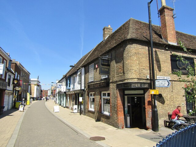
Image: © Colin Smith Taken: 9 Jun 2021
Entering the pedestrianised zone from the south. The Three Tuns pub occupies the Hartford Road corner. www.huntingdontown.gov.uk
Images are licensed for reuse under creativecommons.org/licenses/by-sa/2.0
Image Location
Latitude
52.329206
Longitude
-0.181625