The former Crooke Lock, Leeds & Liverpool Canal
Introduction
The photograph on this page of The former Crooke Lock, Leeds & Liverpool Canal by Christine Johnstone as part of the Geograph project.
The Geograph project started in 2005 with the aim of publishing, organising and preserving representative images for every square kilometre of Great Britain, Ireland and the Isle of Man.

There are currently over 7.5m images from over 14,400 individuals and you can help contribute to the project by visiting https://www.geograph.org.uk
The former Crooke Lock, Leeds & Liverpool Canal
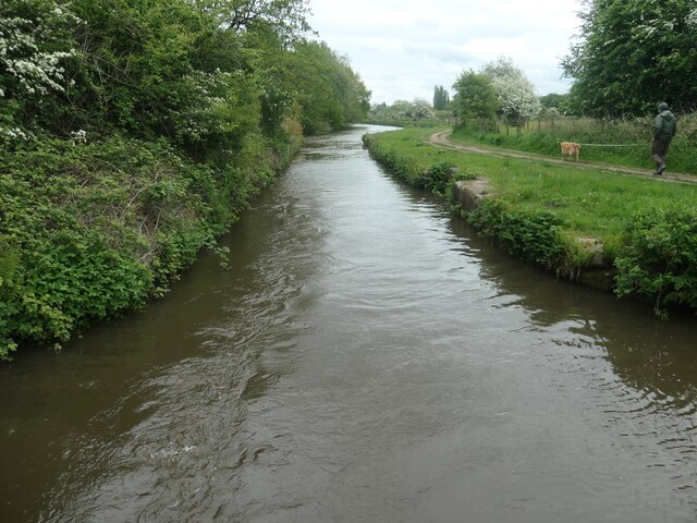
Image: © Christine Johnstone Taken: 23 May 2021
First mapped as 'disused' by the OS on a large-scale map surveyed in 1948. Mining subsidence had change the ground levels.
Images are licensed for reuse under creativecommons.org/licenses/by-sa/2.0
Image Location
Latitude
53.559984
Longitude
-2.671003