Site of a demolished canal bridge, west of Pagefield Lock
Introduction
The photograph on this page of Site of a demolished canal bridge, west of Pagefield Lock by Christine Johnstone as part of the Geograph project.
The Geograph project started in 2005 with the aim of publishing, organising and preserving representative images for every square kilometre of Great Britain, Ireland and the Isle of Man.

There are currently over 7.5m images from over 14,400 individuals and you can help contribute to the project by visiting https://www.geograph.org.uk
Site of a demolished canal bridge, west of Pagefield Lock
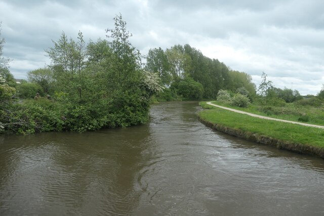
Image: © Christine Johnstone Taken: 23 May 2021
The large-scale OS map surveyed in 1845 shows 'Wooden Bridge' here - presumably fixed rather than swing.
Images are licensed for reuse under creativecommons.org/licenses/by-sa/2.0
Image Location
Latitude
53.551703
Longitude
-2.656834