Quayside, Leigh
Introduction
The photograph on this page of Quayside, Leigh by Christine Johnstone as part of the Geograph project.
The Geograph project started in 2005 with the aim of publishing, organising and preserving representative images for every square kilometre of Great Britain, Ireland and the Isle of Man.

There are currently over 7.5m images from over 14,400 individuals and you can help contribute to the project by visiting https://www.geograph.org.uk
Quayside, Leigh
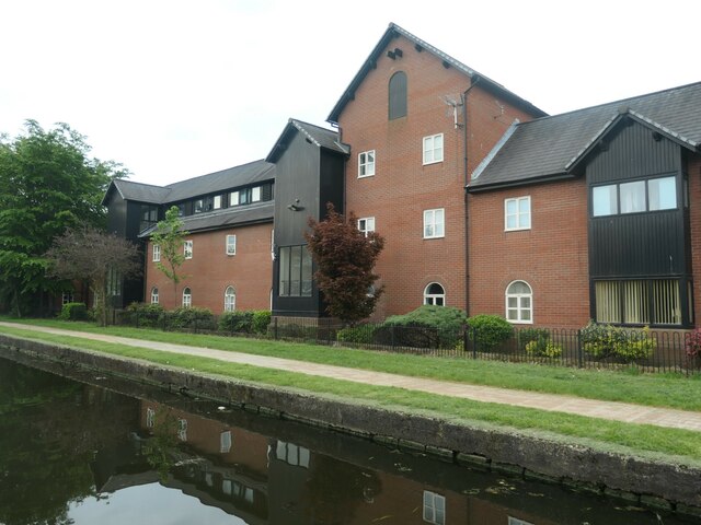
Image: © Christine Johnstone Taken: 29 May 2021
Housing on the south bank of the Leigh branch of the Leeds & Liverpool canal. A long and narrow site, previously a rope works. 'Wharf view' would be a more accurate name.
Images are licensed for reuse under creativecommons.org/licenses/by-sa/2.0
Image Location
Latitude
53.493942
Longitude
-2.522242