The former Leigh Wharf, off Canal Street
Introduction
The photograph on this page of The former Leigh Wharf, off Canal Street by Christine Johnstone as part of the Geograph project.
The Geograph project started in 2005 with the aim of publishing, organising and preserving representative images for every square kilometre of Great Britain, Ireland and the Isle of Man.

There are currently over 7.5m images from over 14,400 individuals and you can help contribute to the project by visiting https://www.geograph.org.uk
The former Leigh Wharf, off Canal Street
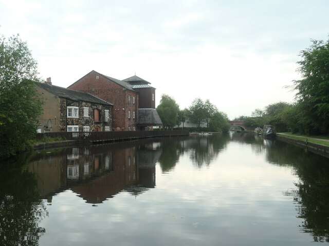
Image: © Christine Johnstone Taken: 29 May 2021
On the north bank of the Leigh branch of the Leeds & Liverpool canal. On the 1845 large-scale OS map, this wharf is at the edge of Leigh's built-up area.
Images are licensed for reuse under creativecommons.org/licenses/by-sa/2.0
Image Location
Latitude
53.494213
Longitude
-2.521793