2008 : The original Peasedown
Introduction
The photograph on this page of 2008 : The original Peasedown by Maurice Pullin as part of the Geograph project.
The Geograph project started in 2005 with the aim of publishing, organising and preserving representative images for every square kilometre of Great Britain, Ireland and the Isle of Man.

There are currently over 7.5m images from over 14,400 individuals and you can help contribute to the project by visiting https://www.geograph.org.uk
2008 : The original Peasedown
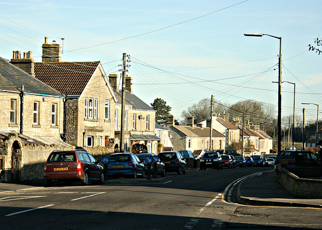
Image: © Maurice Pullin Taken: 9 Feb 2008
This is the way things were before the dead hand of the planners took over. Peasedown St. John was in existence for at least a thousand years without them, and existed very well.http://www.radstock4u.com/villagepages/peasedown/
Images are licensed for reuse under creativecommons.org/licenses/by-sa/2.0
Image Location
Latitude
51.31936
Longitude
-2.420535