Belfast rooftops
Introduction
The photograph on this page of Belfast rooftops by Rossographer as part of the Geograph project.
The Geograph project started in 2005 with the aim of publishing, organising and preserving representative images for every square kilometre of Great Britain, Ireland and the Isle of Man.

There are currently over 7.5m images from over 14,400 individuals and you can help contribute to the project by visiting https://www.geograph.org.uk
Belfast rooftops
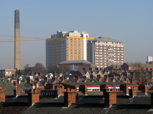
Image: © Rossographer Taken: 13 Feb 2008
The rooftops of the close-knit terracing on the western side of the Lisburn Road in Belfast. Beyond is the towering Belfast City Hospital.
Images are licensed for reuse under creativecommons.org/licenses/by-sa/2.0
Image Location


Leaflet Map data © OpenStreetMap
Latitude
54.585917
Longitude
-5.946277