West Bridgford: along Carnarvon Road
Introduction
The photograph on this page of West Bridgford: along Carnarvon Road by John Sutton as part of the Geograph project.
The Geograph project started in 2005 with the aim of publishing, organising and preserving representative images for every square kilometre of Great Britain, Ireland and the Isle of Man.

There are currently over 7.5m images from over 14,400 individuals and you can help contribute to the project by visiting https://www.geograph.org.uk
West Bridgford: along Carnarvon Road
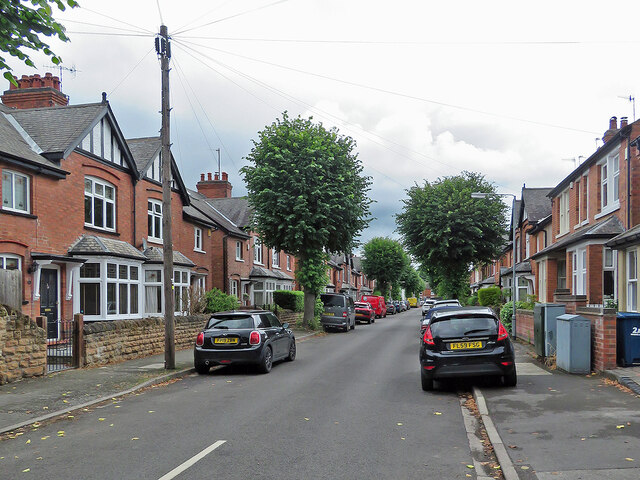
Image: © John Sutton Taken: 6 Jul 2021
These villas are a little grander than those in the next street, where my grandparents lived. Anglicised spelling of Welsh place names was usual when these houses were built.
Images are licensed for reuse under creativecommons.org/licenses/by-sa/2.0
Image Location
Latitude
52.92585
Longitude
-1.126792