Berkeley Avenue, Shiphay
Introduction
The photograph on this page of Berkeley Avenue, Shiphay by Derek Harper as part of the Geograph project.
The Geograph project started in 2005 with the aim of publishing, organising and preserving representative images for every square kilometre of Great Britain, Ireland and the Isle of Man.

There are currently over 7.5m images from over 14,400 individuals and you can help contribute to the project by visiting https://www.geograph.org.uk
Berkeley Avenue, Shiphay
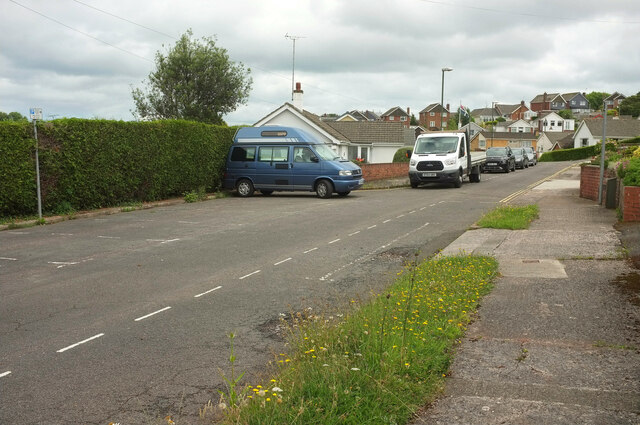
Image: © Derek Harper Taken: 3 Jul 2021
As mentioned at Image], this cul-de-sac runs near Edginswell Close on the north (left) side. This roadside parking area manages to be fitted in, before houses commence beyond.
Images are licensed for reuse under creativecommons.org/licenses/by-sa/2.0
Image Location
Latitude
50.484636
Longitude
-3.564551