Church Road, Ladbroke
Introduction
The photograph on this page of Church Road, Ladbroke by Stephen McKay as part of the Geograph project.
The Geograph project started in 2005 with the aim of publishing, organising and preserving representative images for every square kilometre of Great Britain, Ireland and the Isle of Man.

There are currently over 7.5m images from over 14,400 individuals and you can help contribute to the project by visiting https://www.geograph.org.uk
Church Road, Ladbroke
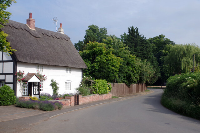
Image: © Stephen McKay Taken: 1 Jul 2021
This is the view from the churchyard lych gate with the thatched Church Cottage on the left. A village map of 1639 shows 15 cottages between here and Bridge Lane, but Church Cottage is the only one now.
Images are licensed for reuse under creativecommons.org/licenses/by-sa/2.0
Image Location
Latitude
52.226037
Longitude
-1.395908