More markings in Kington St Michael
Introduction
The photograph on this page of More markings in Kington St Michael by Neil Owen as part of the Geograph project.
The Geograph project started in 2005 with the aim of publishing, organising and preserving representative images for every square kilometre of Great Britain, Ireland and the Isle of Man.

There are currently over 7.5m images from over 14,400 individuals and you can help contribute to the project by visiting https://www.geograph.org.uk
More markings in Kington St Michael
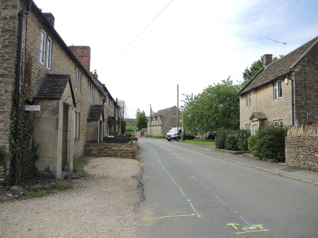
Image: © Neil Owen Taken: 29 May 2021
The main road through the village is about to welcome fibre optic broadband cables - underground, naturally. On the porch of the cottage on the left is an old benchmark - see Image
Images are licensed for reuse under creativecommons.org/licenses/by-sa/2.0
Image Location
Latitude
51.496087
Longitude
-2.140688