Whittington Tump
Introduction
The photograph on this page of Whittington Tump by Chris Allen as part of the Geograph project.
The Geograph project started in 2005 with the aim of publishing, organising and preserving representative images for every square kilometre of Great Britain, Ireland and the Isle of Man.

There are currently over 7.5m images from over 14,400 individuals and you can help contribute to the project by visiting https://www.geograph.org.uk
Whittington Tump
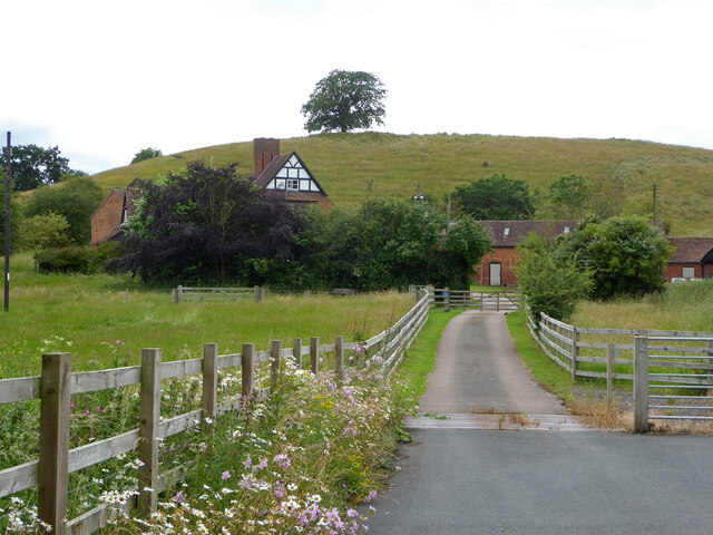
Image: © Chris Allen Taken: 4 Jul 2021
A small hill with a solitary tree visible from miles around. Crookbarrow Farm is seen in front.
Images are licensed for reuse under creativecommons.org/licenses/by-sa/2.0
Image Location
Latitude
52.16873
Longitude
-2.184327