St. Leonards Road
Introduction
The photograph on this page of St. Leonards Road by Malcolm Neal as part of the Geograph project.
The Geograph project started in 2005 with the aim of publishing, organising and preserving representative images for every square kilometre of Great Britain, Ireland and the Isle of Man.

There are currently over 7.5m images from over 14,400 individuals and you can help contribute to the project by visiting https://www.geograph.org.uk
St. Leonards Road
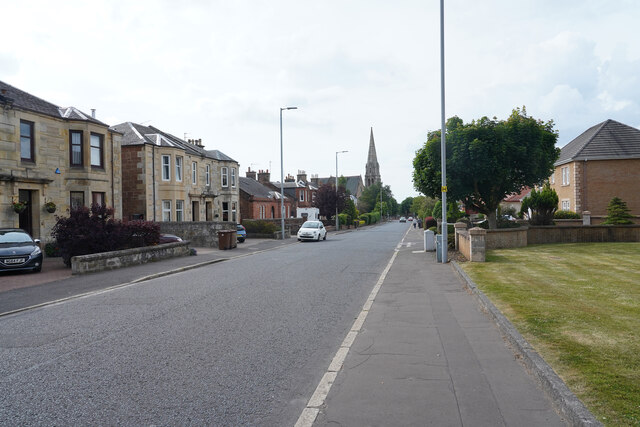
Image: © Malcolm Neal Taken: 4 Jul 2021
Maybole Road has now changed its name to St. Leonards Road, though where the boundary is between the two and where the name actually changes I am not sure.
Images are licensed for reuse under creativecommons.org/licenses/by-sa/2.0
Image Location
Latitude
55.449645
Longitude
-4.627999