St. Leonards Road
Introduction
The photograph on this page of St. Leonards Road by Malcolm Neal as part of the Geograph project.
The Geograph project started in 2005 with the aim of publishing, organising and preserving representative images for every square kilometre of Great Britain, Ireland and the Isle of Man.

There are currently over 7.5m images from over 14,400 individuals and you can help contribute to the project by visiting https://www.geograph.org.uk
St. Leonards Road
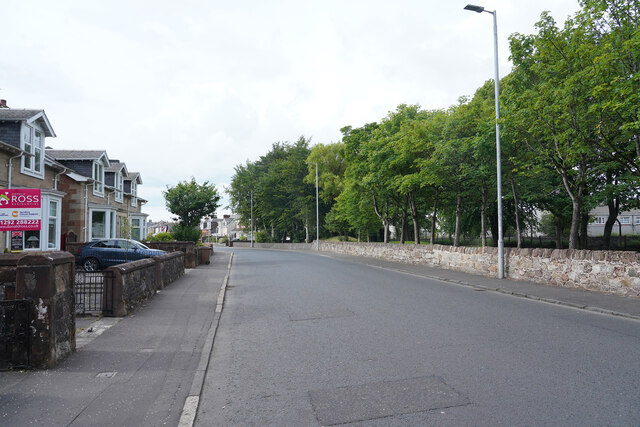
Image: © Malcolm Neal Taken: 4 Jul 2021
Further along the Maybole Road than image Image as I get closer to Ayr town proper the road has already changed its name to St. Leonard's Road.
Images are licensed for reuse under creativecommons.org/licenses/by-sa/2.0
Image Location
Latitude
55.446768
Longitude
-4.623855