Coastal erosion south of Carsethorn
Introduction
The photograph on this page of Coastal erosion south of Carsethorn by Andrew Curtis as part of the Geograph project.
The Geograph project started in 2005 with the aim of publishing, organising and preserving representative images for every square kilometre of Great Britain, Ireland and the Isle of Man.

There are currently over 7.5m images from over 14,400 individuals and you can help contribute to the project by visiting https://www.geograph.org.uk
Coastal erosion south of Carsethorn
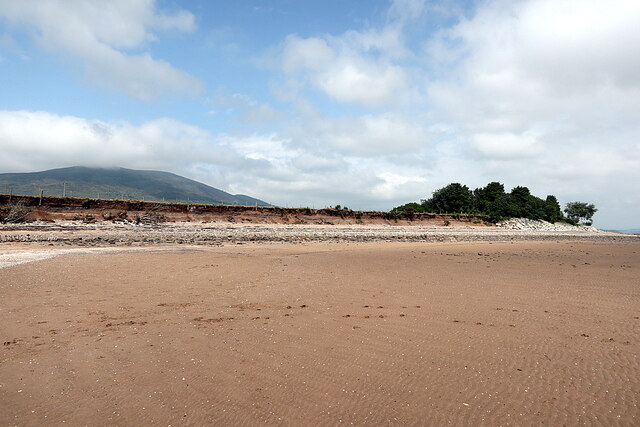
Image: © Andrew Curtis Taken: 2 Jul 2021
Some sections of the coast around Carsethorn have already been protected with rock armour to protect properties close to the shore-line Image and Image Much more is now planned with permission given by the council in April 2021. It has been estimated that around 4,000 tonnes of rock will be required to complete the defences which could be supplied by local granite boulders taken from farm fields around Criffel. https://www.dailyrecord.co.uk/news/local-news/scenic-dumfries-galloway-village-sea-23919746 https://web.archive.org/web/20210705131718if_/https://www.dailyrecord.co.uk/news/local-news/scenic-dumfries-galloway-village-sea-23919746
Images are licensed for reuse under creativecommons.org/licenses/by-sa/2.0
Image Location
Latitude
54.920012
Longitude
-3.572013