68 The Ridgeway
Introduction
The photograph on this page of 68 The Ridgeway by Ian Capper as part of the Geograph project.
The Geograph project started in 2005 with the aim of publishing, organising and preserving representative images for every square kilometre of Great Britain, Ireland and the Isle of Man.

There are currently over 7.5m images from over 14,400 individuals and you can help contribute to the project by visiting https://www.geograph.org.uk
68 The Ridgeway
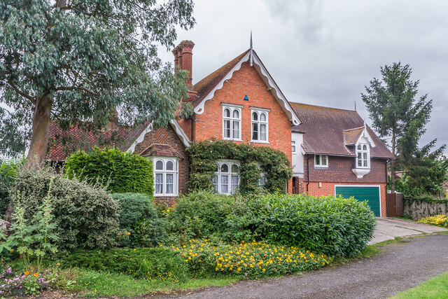
Image: © Ian Capper Taken: 30 Jun 2021
Old planning documents name this building as Cage Farm Lodge, and old maps show that it stood at the entrance to Cage Farm, now all redeveloped.
Images are licensed for reuse under creativecommons.org/licenses/by-sa/2.0
Image Location
Latitude
51.208766
Longitude
0.281663