Craigston Bridge
Introduction
The photograph on this page of Craigston Bridge by Andrew Wood as part of the Geograph project.
The Geograph project started in 2005 with the aim of publishing, organising and preserving representative images for every square kilometre of Great Britain, Ireland and the Isle of Man.

There are currently over 7.5m images from over 14,400 individuals and you can help contribute to the project by visiting https://www.geograph.org.uk
Craigston Bridge
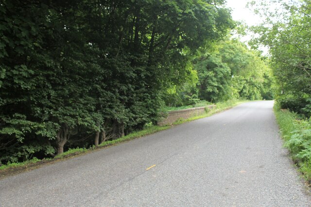
Image: © Andrew Wood Taken: 29 Jun 2021
The low parapet of a road bridge over the Craigston Burn with the state policies in woodland to the left.
Images are licensed for reuse under creativecommons.org/licenses/by-sa/2.0
Image Location
Latitude
57.584566
Longitude
-2.407386